WVU Health Affairs Institute Completes Landmark Address Validation Study in McDowell County
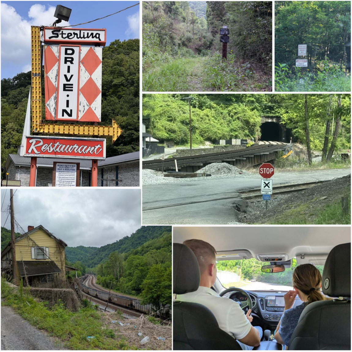
Through a grant from the Robert Wood Johnson Foundation (RWJF), WVU Health Affairs Institute (HAI) has completed a study of McDowell County’s population and housing ahead of the U.S. Census Bureau’s 2030 Decennial Census.
The Study of Housing and Population Erosion (SHAPE) combined GIS mapping with on-the-ground verification to identify where people live today, especially in areas that are often overlooked. Improving address accuracy supports better population estimates, which has larger implications in the fair and equitable allocation of resources, emergency response, community planning, and can boost representation at the federal level.
Click here to learn more SHAPE’s mapping and data collection process.
“Every emergency response, every census count, and every public health campaign starts with knowing where people live. Right now, West Virginia’s address data has gaps, and those gaps can mean missed services, undercounted communities, and slower help when it matters most. SHAPE is working to close them, said Brandon Marsh, Director of IT, Data Integrity, and Compliance and SHAPE Project Director. “Starting in McDowell County, we’re building a more accurate, more complete address picture that can strengthen disaster response, sharpen public health outreach, and make sure every West Virginian is counted and reached.”
West Virginia’s southernmost county, McDowell has faced population collapse, infrastructure degradation, and recurring natural disasters since its population peaked in 1950. In the wake of these issues, housing units can become unlisted or incorrectly documented in USPS Computerized Delivery Sequence file and Census Bureau address lists. Topography and other factors can render address list correction techniques like satellite imagery ineffective, further complicating tracking efforts. These gaps disproportionately impact already marginalized populations, according to researchers.
To tackle these challenges, the project team split the county’s residential points across nine census tracts, routed for efficient canvassing, and verified door to door in Environmental Systems Research Institute, Inc, (ESRI) field maps. SHAPE reviewed 13,000 address points, identified 10,899 residential units, and surveyed 6,046 housing units as field stops. In every field-validated block group, verified occupied addresses exceeded the U.S. Census Bureau’s American Community Survey estimate — the coverage gap runs in one direction, and the newly identified units cluster where terrain hides them.
“No one has a deeper knowledge or expertise of McDowell County than those living and working there,” said Emily Robinson, Senior Program Manager and SHAPE Project Manager.“The SHAPE team prioritized establishing and strengthening local partnerships, leading to shared resources and knowledge that deepened the team’s understanding and respect for McDowell’s strengths and unique challenges.”
During field validation, the team also prioritized hiring local field workers who often had comprehensive knowledge of the neighborhoods and road conditions of the county. “The success of the SHAPE project hinged on that local knowledge and support,” Robinson said.
Ultimately, SHAPE aligns with efforts to promote fairness in federal, state, and local data systems and enhance rural disaster recovery capacity. The project tested scalable methods for updating address lists in advance of the 2030 Local Update of Census Addresses (LUCA).
HAI will continue to lead the dissemination and coordination of results and lessons learned from SHAPE, including a toolkit for other organizations interested in launching address validation projects in local communities.